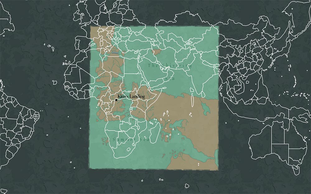

George R.R. Martin’s A Song of Fire & Ice is a pretty fantastic story, and the density of the world building he put together for it is astounding. For the television adaption, each episode opens with zooming into different places in his world, & I thought it’d be fun to put together a version where you yourself could do that zoomin’.
Just before the new season dropped, I did a search to see if anyone had made Shapefiles Think image files that have longitude & latitude coordinates baked into the image. of the Game of Thrones world. Alas, some person going by the username Cadael had! You can check it out yourself here at the Cartographers Guild. Bless ya’ll fantasy mappers. From there, I edited those files in QGIS to generate some waterline layers & tweak the label points to better cooperate, & finally pulled it all into Mapbox to style.
Hope ya’ll enjoy the map! There’s seven little doodles based on events of this season that I’ve scattered on the map- to see them, you’ll have to zoom in tight. Good luck!